Flight to Europe: exercise in practical geography
We went to Europe, via Hong Kong, and I got nice window seat in Jumbo Jet. As the weather was magnificent, I did lots of pics of terrain underneath. Let's see how exactly we can follow the airplane route by these pics.
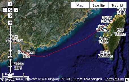
I will use the Google maps and compare the pics with satellite maps available online. At the end we should have quite exact airplane route. I did the same fun with Captain Cook's travels around the world, in my old atlas, some long time ago, and Darwin's trips, and even "Bounty". It's fun to be childish again ;-), and also I will review my (deteriorating recently) geography. In fact, I am not so good in Asian geography, time to correct it. This is time-consuming task, so it will be done in more than one step, advance is possible to follow in the map, marked by red line, as in in-flight infos in the airplanes:
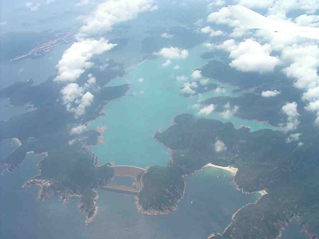
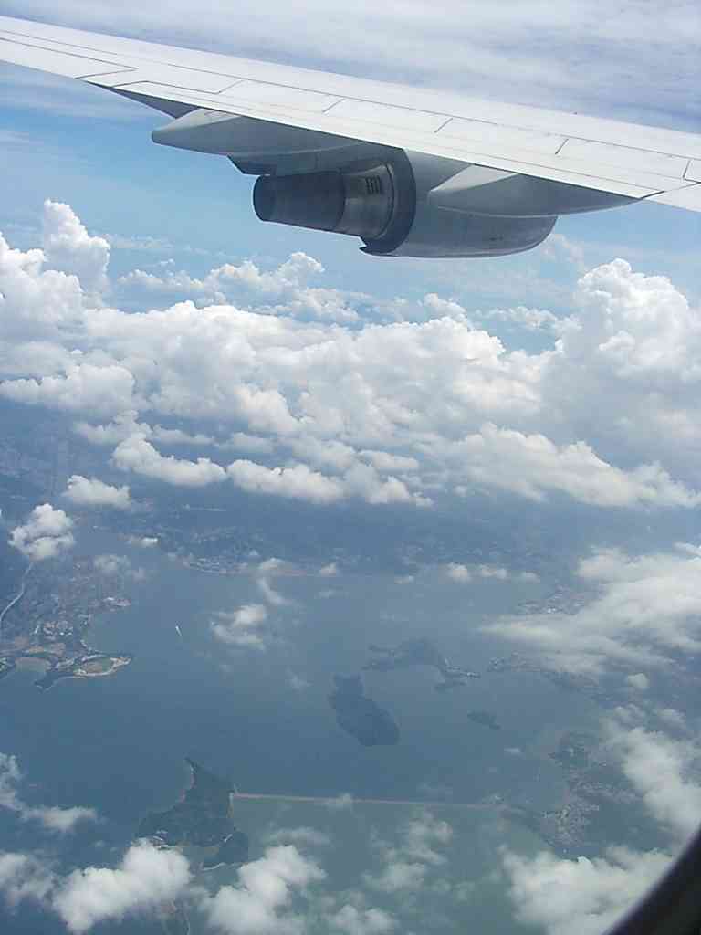
Flying from Hong Kong, still ascending, I saw this interesting coastal feature:
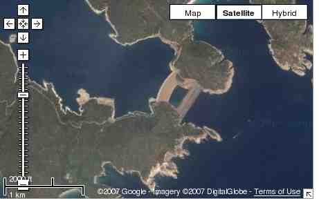
In Google maps I found it east from Kowloon, it is High Island Reservoir, its dam is impressive from the air.I searched in internet, it seems to be water reservoir for Hong Kong with quite a history, see also http://www.info.gov.hk/water150/mbook/TEXT/TEXT_ENG/Construction/construction_p3.html. Very thorough description, I think many cities will go for similar measures in next decades, when we face more serious problems with water. There are lessons to learn from this project, I feel.
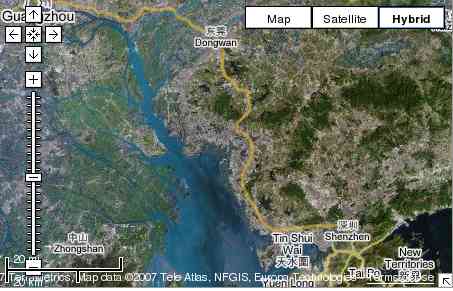
What we see is actually the eastmost part of the flight line above mainland China here, near the letter "o" in "Kong" in the first pic of this blog.
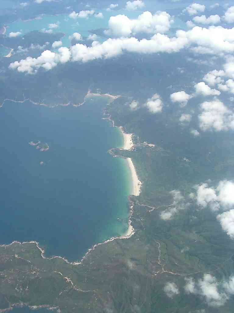
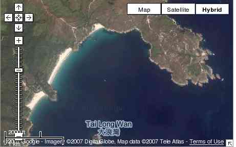
More exactly, there are beaches in front of TaiLongWan island:
In the google maps it is:
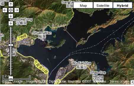
Then we turned north to San Tau Yiu and then westwards from the New Territories:
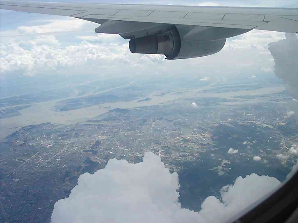
We proceeded north along Xi Jiang river, towards Kanton (Guangzhou):
This much about the geography of the Chinese coast near Hong Kong :-).
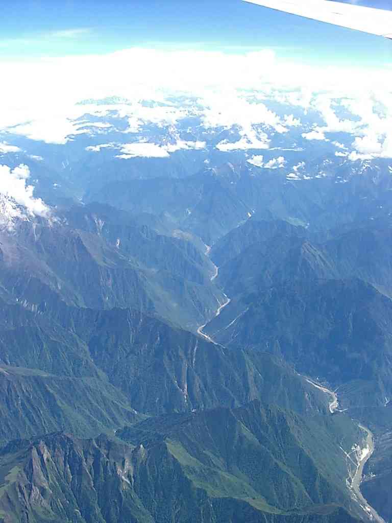
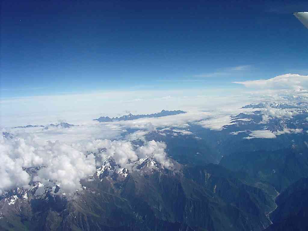
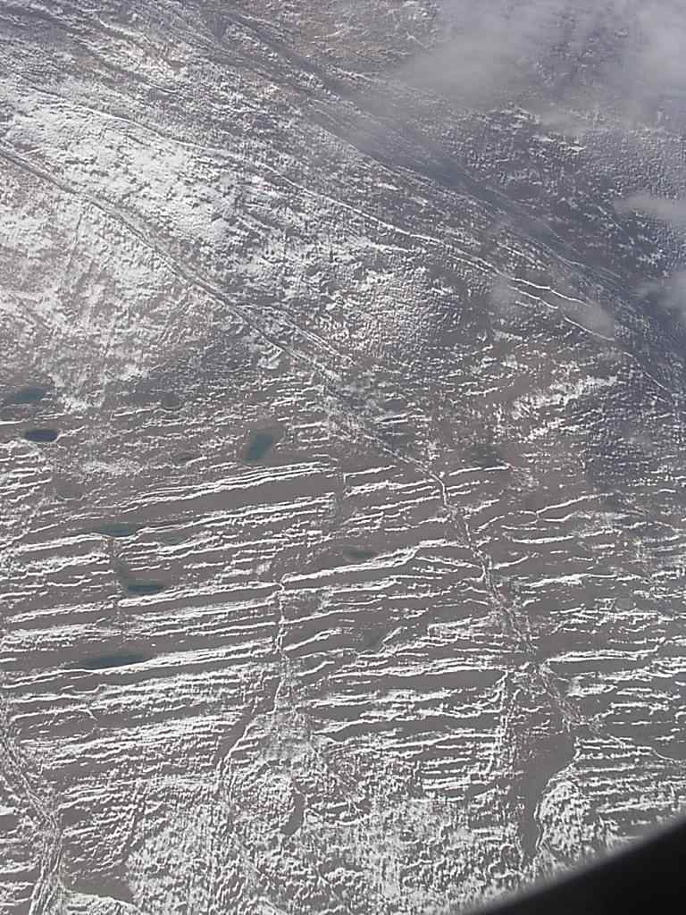
I will try to see about other parts of the trip, Tibet plateau is not easy for locations, as you can imagine. Here are some pics from this part of the trip.
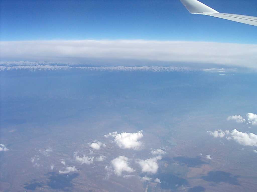
Further were Takla Makan desert and Altai, towards Ural and Rossia. This pic shows how Himalayas rise above this all, far south:
And here is desert in the snow-landing on Mars?


0 Comments:
Post a Comment
<< Home